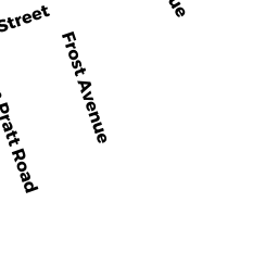
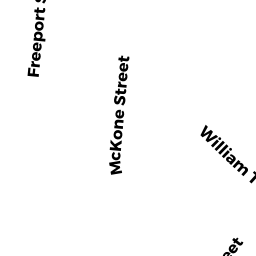
281A283A NEPONSET AV
Owner Information
FLIPPIN DONNA M TS
281A NEPONSET AV
DORCHESTER, MA 02122


Property Details
281A283A NEPONSET AV is classified as a Mixed Use (Primarily Residential, some Commercial) (Strip retail/ office).
The primary structure on this property was built in 1920. There are 4,378ft2 of built area within this property. There is 2,189ft2 of residential/living space within this property.
281A283A NEPONSET AV is valued at $509,100. The land is valued at $189,800 and the structures are valued at $318,200. There is an additional valuation of $1,100 on this property.
The most recent deed for 281A283A NEPONSET AV is recorded at the local registrar in Book 30757, Page 166. 281A283A NEPONSET AV was last sold on Thursday, March 6, 2003 for $9.
Assessment data from fiscal year 2020.
Flood Data
According to the FEMA National Flood Hazard Layer, this property does not appear to be in a flood zone. It may also be in an area not yet reviewed. Nonetheless, confirm this information prior to taking any action.
To view the flood hazards around this property, create a FEMA "Firmette" Map of the area around 281A283A NEPONSET AV.
Broadband Internet Providers
| Provider | Type | Bandwidth (mbps) | |
|---|---|---|---|
| Starry, Inc. | Fixed Wireless | 200 | 200 |
| RCN | Cable | 1000 | 20 |
| Viasat Inc | Satellite | 100 | 3 |
| VSAT Systems, LLC. | Satellite | 2 | 1 |
| RCN | Cable | 500 | 20 |
| Verizon New England Inc. | Fiber | 940 | 880 |
| Comcast | Cable | 1000 | 35 |
| Verizon New England Inc. | DSL | 15 | 1 |
| GCI Communication Corp. | Satellite | 0 | 0 |
| HughesNet | Satellite | 25 | 3 |
Broadband service provider data from December 2020.
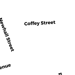
Adjacent Properties
- 281 NEPONSET AV
Single Family Residential owned by AHEARN FAMILY IRREVOCABLE - 56 Coffey ST
Other, Open Space owned by NEPONSET BAY CONDO TR - 56 Coffey ST 1
Residential Condominium owned by KRAHL JONATHAN - 56 Coffey ST 3
Residential Condominium owned by FALLON MARIE - 56 Coffey ST 4
Residential Condominium owned by LANATA MARY D - 56 Coffey ST 5
Residential Condominium owned by MONTANI CHRISTOPHER - 56 Coffey ST 7
Residential Condominium owned by SCARBOROUGH DAVID - 56 Coffey ST 8
Residential Condominium owned by PRAJAPATI AARADHANA K - 56 Coffey ST 9
Residential Condominium owned by MONTANI CHRISTOPHER J - 56 Coffey ST 10
Residential Condominium owned by CONNOLLY MARY B - 56 Coffey ST 11
Residential Condominium owned by GIGLIO ROBERT - 56 Coffey ST 12
Residential Condominium owned by MCDONOUGH PAUL M - 56 Coffey ST 15
Residential Condominium owned by GILLIGAN MARY K - 56 Coffey ST 16
Residential Condominium owned by MCNULTY JOHN FRANCIS - 56 Coffey ST 2
Residential Condominium owned by MANDAL ANANYA - 56 Coffey ST 13
Residential Condominium owned by CURRAN MEGHAN M - 56 Coffey ST 6
Residential Condominium owned by DOROTHY T FARQUHARSON